THE FUTURE OF
AERIAL TECHNOLOGY
Lightweight. Portable
Extremely versatile
READ MORE

INTRODUCING

HASETINS EXPLORATION SERVICES (HEXC)

Every activity shot through the eyes of HEXC is an invitation to explore the world. Join the adventure.

Hasetins uses state-of-the-art technologies that transmit specific frequencies to interact with and analyze surface and subsurface materials at the atomic and molecular scales.

Mineral ores have a unique atomic structure and consequently a distinct atomic signature. By analyzing these frequencies, HEXC’s system can identify and differentiate mineral types with exceptional precision.

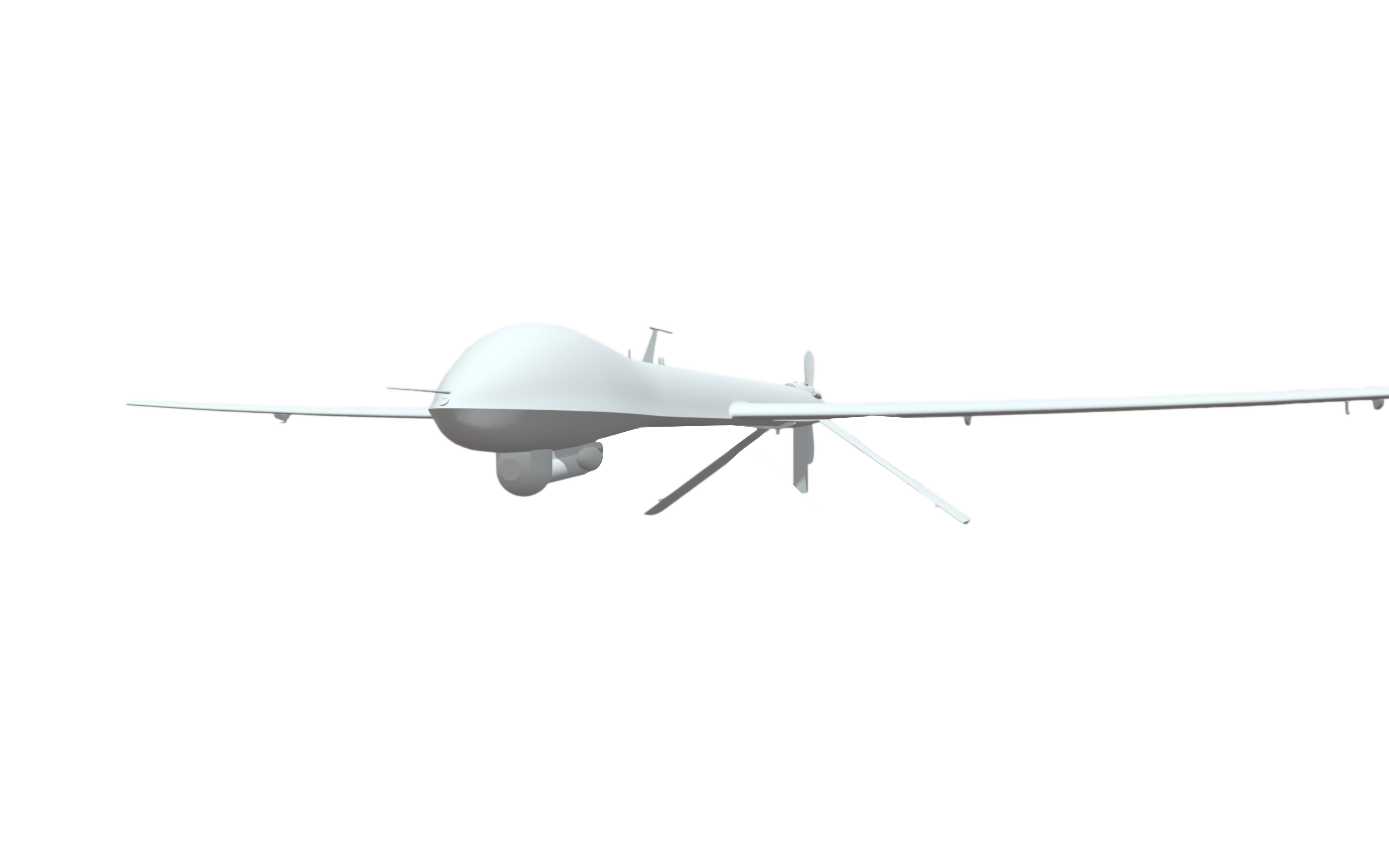
Hasetins uses air systems, such as aeromagnetic airborne electromagnetic (AEM) and other proprietary air systems, to conduct thorough assessments and analyze sites and areas for its activities.

Aeromagnetic: Highly sensitive sensors (magnetometers) collect information on magnetic signatures of sites and analyze variations in the magnetic fields to have higher insight into surface and subterranean structures.

Airborne Electromagnetic (AEM): Transmits alternating electromagnetic pulses and analyzes the conductivity as these pulses interact with different materials, depending on the electrical conductivity. These items react to electromagnetic energy differently, and Hasetins creates profiles to locate specific types of ores.

Slide thumbnail

INTRODUCING

SATELLITE TECHNOLOGY: HYPERSPECTRAL SYSTEMS & SAR

Hasetins utilizes satellite technology, hyperspectral analysis, Synthetic Aperture Radar (SAR), and others to analyze sites and areas. Hyperspectral technologies can analyze spectral signatures – Items that have specific spectral signatures at the atomic level. These unique signatures classify types of atoms, and Synthetic Aperture Radar (SAR) utilizes technology to penetrate through clouds and smoke and acquire information.

Hyperspectral

(HS)

Captures detailed spectral information for the analysis of subtle differences in material properties.

SAR Inferometric

(inSAR)

A remote sensing technique that uses radar signals from orbiting satellites to measure changes in altitude and deformation surfaces.

Polarimetric

(polSAR)

A technique that measures the rotation of plane-polarized light after it passes through a sample.

Ground Penetrating Radar

INTRODUCING

GROUND PENETRATION RADAR SYSTEM

Hasetins uses a state-of-the-art ground Penetration Radar System to transmit specific frequencies and collect information on formations of classification of ores.

Slide thumbnail
HEXC
Hexc artificial Intelligence collects information from satellite, ground penetration radar system, aeromagnetic and others to accurately detect target areas.
ARTIFICIAL INTELLIGENCE

INTRODUCING

LIGHT DETECTION AND RANGING SYSTEM (LIDAR)

Hasetins utilizes light detection and ranging (LIDAR) to access and analyse it’s sites. This technique utilizes scanning to collect information of complex terrains, structural features and other crutial insight of the site.